Data ReFined #26: State of ReFi Report, Blockchain-Native Carbon Credits, and Remote Agricultural Mapping
The Newsletter about Climate Data, Regenerative Finance, and Climate Risk ⛅
Greetings from dClimate! The latest issue of our biweekly newsletter is here, showcasing a curated overview of advancements in data-driven climate tech, solutions for climate hazards, and web3-powered climate impact.
This edition includes Carbon Copy's State of ReFi report, Open Forest Protocol's new carbon credit standard, Vox's explainer video on AI and weather forecasting, new research to map and predict agricultural land, as well as Fathom's partnership with the World Bank to provide free flood data to countries prone to climate risks.
Before diving into the latest industry news, we'd like to share our recently published article that comprehensively analyzes the REDD+ and jurisdictional REDD+ (J-REDD+) initiatives within the voluntary carbon market, focusing on their importance in forest conservation and climate change mitigation. The write-up covers the basics of REDD+ projects, addresses current challenges, and examines solutions to enhance data quality and integrity through digital MRV solutions.
Read the article below for all the insights! 👇
Industry News

State State of ReFi Report
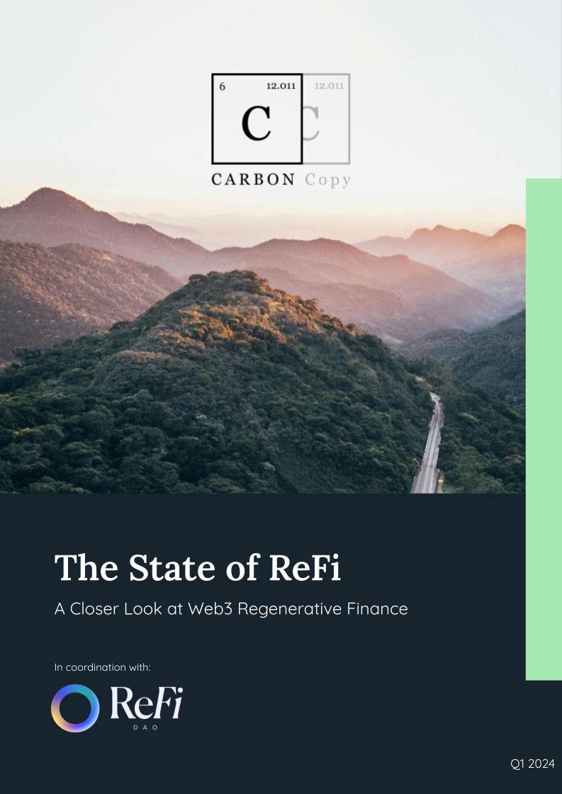
Carbon Copy, in coordination with ReFi DAO, has published a comprehensive report on the ReFi sector, offering insights into industry trends, potential opportunities, and existing challenges. The report also features a detailed landscape map of the regenerative finance movement, mentioning dClimate as one of the prominent data solutions.
For more in-depth information, access the report through the provided link.
Blockchain-Native Carbon Credits
Open Forest Protocol has introduced a new carbon standard named the Open Carbon Credit (OCC), distinguished by its full traceability on a public blockchain. This novel approach ensures transparency and accountability throughout the entire lifecycle of carbon credits, from the inception of the carbon development project to the retirement of the credits in question.

Global Carbon Market Outlook 2024
BloombergNEF's recent report on the global carbon markets reveals a shrinking disparity between compliance and voluntary markets, with new compliance schemes showing greater flexibility towards incorporating carbon offsets.

Using AI Models for Weather Forecasting
Vox's latest video sheds light on how artificial intelligence is transforming weather forecasting. Highlighting the shift from traditional methods, AI enables the generation of over a thousand forecast ensembles, significantly surpassing the usual fifty. This increase drastically reduces uncertainty in weather predictions.
Free Flood Data for 16 Climate Vulnerable Countries
Fathom will provide its flood data at no cost for non-commercial use to 16 countries under a new agreement with the World Bank. The included countries are particularly vulnerable to climate change and often lack extensive data resources. This collaboration aims to enhance data accessibility for these nations, aiding in future planning and resilience against water risk.
Mapping Crops Remotely
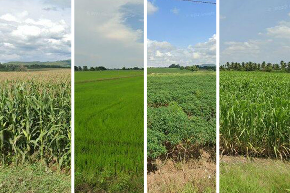
MIT engineers have developed a method for quickly and accurately mapping crop types across large areas using machine learning, satellite imagery, and Google Street View photos. This technique has identified the four major crops in Thailand with 93% accuracy. The approach represents a significant advancement in agricultural mapping, particularly for emerging economies, where smallholder farms dominate but lack detailed agricultural data.

Insurance Premiums Rise Due to Extreme Weather Events
This article from the Financial Times reports on a global trend where extreme weather events, exacerbated by climate change, challenge the insurance industry's ability to offer affordable coverage. With insurance losses from natural catastrophes topping $100bn annually in recent years, companies are reassessing their risk models and pricing, leading to higher premiums and reduced coverage availability.

Predicting Agricultural Risks and Land Suitability
A new study analyzed data from climate models and socioeconomic scenarios to predict cropland distribution changes across Eastern Europe and Northern Asia. The research anticipates a northward shift in arable land, with some areas requiring enhanced irrigation, highlighting the need for detailed regional climate risk assessments to adapt to climate variability and secure food supplies.

Thank You for Reading! 💙
We appreciate your support and interest! Should you find the information in our newsletter insightful, we encourage you to share it within your network to help spread awareness about the important topics we've addressed.
Feel free to connect with us through our social media channels below to share your thoughts, suggestions, or feedback.
Twitter | LinkedIn | Discord | Telegram | YouTube
Learn more about the decentralized and open climate data ecosystem we are building via the links below!
🌐 Visit our website
👉 Check out our products
💽 Explore 40+ TB of free climate data via our data marketplace and API


