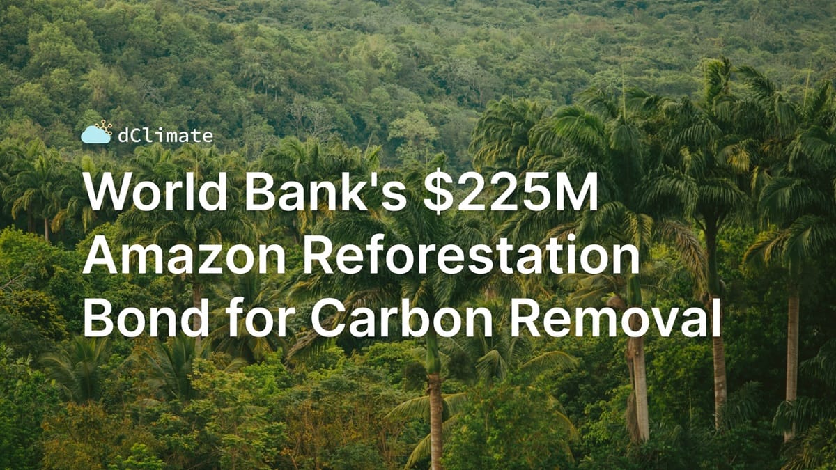
Data ReFined #38: World Bank's $225M Amazon Reforestation Bond for Carbon Removal

⛅ Data ReFined is dClimate's biweekly newsletter, delivering the latest insights on carbon finance in the voluntary carbon market (VCM), climate risk management, and climate data.
In this edition:
Carbon Finance & Digital MRV
🌳 World Bank's $225M Amazon Reforestation Bond for Carbon Removal
🌳 High-Integrity Renewable Energy Credits in the VCM
🌳 Gold Standard's First Methodology for Mangrove Projects
Climate Risk Management
🛡️ How to Insure Climate Risk, Explained in 3 Minutes
🛡️ Pros and Cons of Parametric Insurance for Climate Risks in Real Estate
🛡️ The Risky Business of Forecasting Climate Perils
Climate Data & Intelligence
🌎 ESA's CubeSat Contains Onboard AI Image Processing for Earth Observation
🌎 Two Decades of Detailed Fire-Driven Tree Cover Loss Data
🌎 How Copernicus Measures Global Temperature and Why it Matters
Scroll down for our summaries of this news! 👇
Subscribe here and join over 4000+ readers!

World Bank's $225M Amazon Reforestation Bond for Carbon Removal
The nine-year bond gives investors returns linked to carbon removal units (CRUs) generated from reforestation projects in Brazil's Amazon rainforest. This bond structure is unique as it ties investors' financial returns directly to removing carbon from the atmosphere, setting it apart from previous transactions connected to carbon credits derived from avoided emissions.
Find more details in the press release below:

High-Integrity Renewable Energy Credits in the VCM
The Integrity Council for the Voluntary Carbon Market (ICVCM) has been addressing scrutiny by setting stricter standards, such as the Core Carbon Principles (CCP) introduced in 2023. To further strengthen the trust within the VCM, the organization recently announced that renewable energy credits issued via specific methodologies are no longer eligible for the CCP high-integrity label. Read More
Gold Standard's First Methodology for Mangrove Projects Utilizes Remote Sensing Technology
The updated methodology improves the accuracy and scalability of mangrove restoration projects, one of the key nature-based solutions within carbon finance. By integrating satellite imagery, the methodology enhances monitoring and verification, making it easier to track mangrove health and carbon sequestration. Read More

How to Insure Climate Risk, Explained in 3 Minutes
Arbol CEO Sid Jha gave a quick presentation at the Giant Ideas Summit on climate risk management and the role of data analytics and AI.
You can watch the 3-minute video on YouTube or directly below:
Pros and Cons of Parametric Insurance for Climate Risks in Real Estate
As climate change intensifies, insuring properties in high-risk areas is becoming increasingly difficult. Traditional insurers are pulling back from high-risk regions, prompting the rise of new solutions like parametric insurance and advanced risk modeling. While these innovations help, they come with limitations. Read More
The Risky Business of Forecasting Climate Perils
Bloomberg recently published an in-depth article discussing the shortcomings of climate risk models for real estate, which frequently yield conflicting projections regarding flooding and other hazards. The opacity surrounding these proprietary algorithms has sparked a debate over the necessity for standardized and transparent risk assessments, as well as the potential benefits of public climate risk models. Read More

ESA's CubeSat Contains Onboard AI Image Processing for Earth Observation
The recently launched Φsat-2 mini-satellite demonstrates the potential of onboard AI-driven data analysis in Earth observation. The 6U CubeSat automatically detects clouds and filters images, enhancing data quality and reducing bandwidth requirements for efficient communication.
Learn more about this satellite mission:

Two Decades of Detailed Fire-Driven Tree Cover Loss Data
A new high-resolution dataset on tree cover loss from fires worldwide has been published on Global Forest Watch. A complementary article explains what the data measures, how data scientists can use it, and how this dataset differs from other fire-related data. Read More
How Copernicus Measures Global Temperature and Why it Matters
The Copernicus Climate Change Service (C3S) is involved in creating the ERA5 datasets, which are widely used among climatologists and earth scientists. In a new article, they explain how temperature data from ground stations, satellites, and ocean buoys are fed into reanalysis systems like ERA5, which combine historical and current data to create comprehensive temperature records. Read More
Thank You For Reading Our Newsletter! 💙
We greatly appreciate your interest and support! If you enjoyed this newsletter, please consider forwarding it to your network to increase awareness of these critical climate topics.
Join the dClimate Community!
We welcome your comments, feedback, and likes. Follow us on the channels below to stay updated and start building in our decentralized climate data ecosystem. 👇
Twitter | LinkedIn | Telegram | YouTube
Learn more about dClimate's decentralized and open climate data infrastructure:


